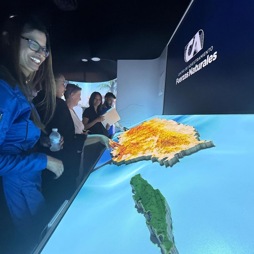
Island of Resilience
GIS projection mapping on topological replica

(01)
Summary
Island of Resillience is a permanent immersive exhibit at the Ecoexploratorio in Puerto Rico's largest mall. Machine milled from a single piece of wood, it features a scaled replica of the island's topology as scanned with Lidar. We use projection mapping to display interactive layers that showcase GIS maps over the milled surface.
No items found.
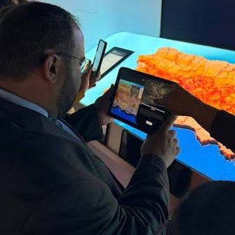
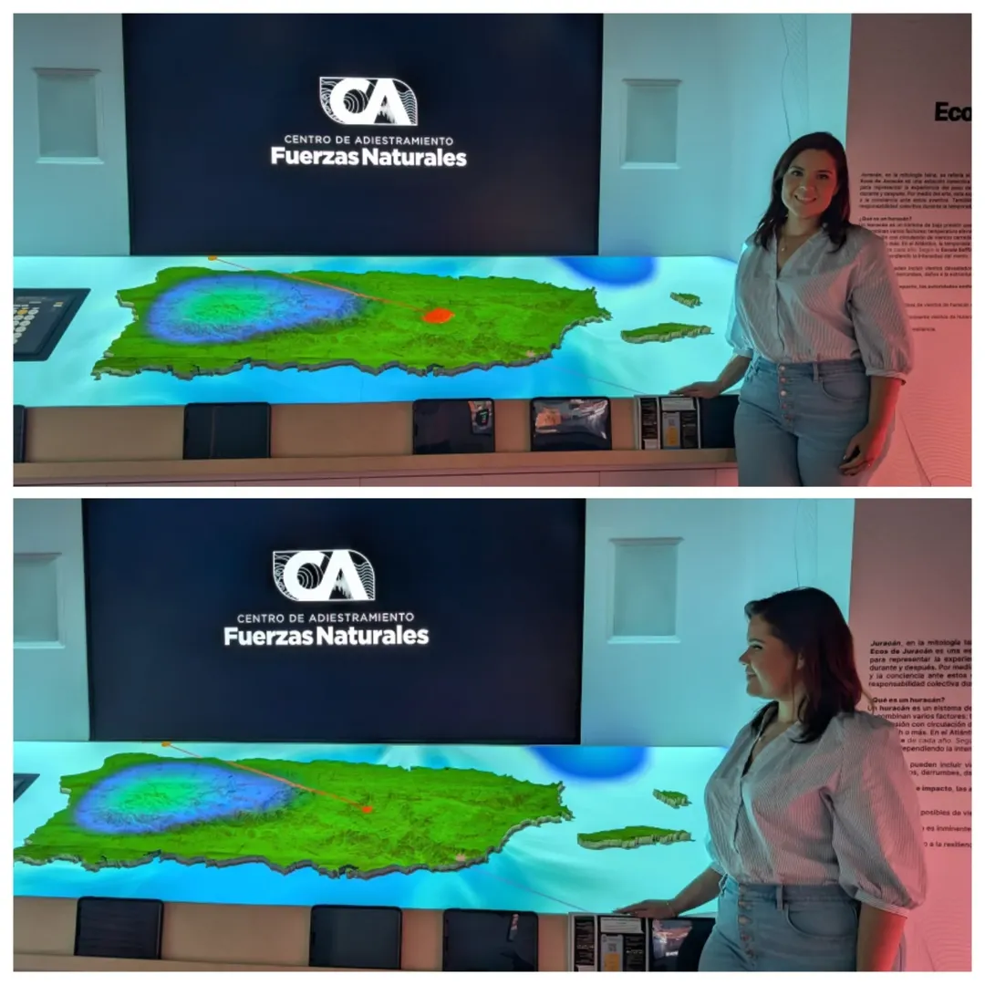
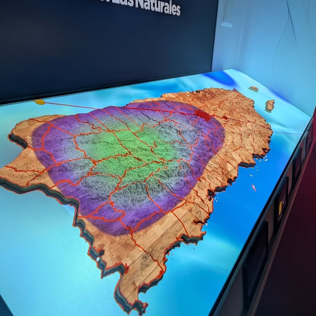
Live Maps & AR Points of Interest
Projected layers also include live data from weather reports to hurricane trajectories, allowing visitors to learn about the island's history. Using a companion iOS app, visitors can also independently explore points of interest that showcase how Puerto Rico has been impacted by past natural phenomena.
(02)
No items found.
(03)
Next projects